Ski season 2026–27
Val d'Isère Ski Guide
Val d'Isère is in Savoie, France. This guide maps the ski runs and lifts around it, shows when snow builds through the winter, and lists the nearest airports and the airlines that fly there.
- Named runs
- 207
- Named lifts
- 93
- Most snow (regional)
- Feb
- Nearest airport
- TRN 59 km
Val d'Isère piste map
- Easy: 79 named runs
- Intermediate: 54 named runs
- Novice: 27 named runs
- Advanced: 19 named runs
- Expert: 14 named runs
- Freeride: 12 named runs
- Not graded: 2 named runs
- Lifts
Runs and lifts within 14 km of Val d'Isère, which can include neighbouring ski areas. Map data © OpenStreetMap contributors (ODbL), read 17 Sept 2026. Check the resort's own piste map for closures and grading on the day.
Snow and temperature by month around Val d'Isère
Average snow depth on the ground in centimetres, 2001–2020, for the area around Val d'Isère. Snow on the pistes depends on altitude and snowmaking, so treat this as when the season builds and fades, not as a snow report.
| Month | Snow depth | Avg temperature |
|---|---|---|
| Jan | 43.96 cm | -8.3°C / 17°F |
| Feb | 53.01 cm | -8.0°C / 18°F |
| Mar | 41.42 cm | -4.2°C / 24°F |
| Apr | 15.92 cm | 1.1°C / 34°F |
| May | 7.95 cm | 5.7°C / 42°F |
| Jun | 1.84 cm | 10.4°C / 51°F |
| Jul | 0.58 cm | 12.2°C / 54°F |
| Aug | 0.71 cm | 11.8°C / 53°F |
| Sep | 3.02 cm | 8.0°C / 46°F |
| Oct | 8.14 cm | 3.9°C / 39°F |
| Nov | 16.2 cm | -2.1°C / 28°F |
| Dec | 28.71 cm | -6.8°C / 20°F |
Source: NASA Langley Research Center POWER Project, Climatology API.
Flying to Val d'Isère
Airports within 300 km (straight-line distance) that at least three airlines on our route maps fly to.
Turin (TRN) · 59 km
- By car
- 148 km · about 2h 28m without traffic or snow
Turin to Val d'Isère: train, car and transfer guide →
14 airlines fly here on our route maps:
Geneva (GVA) · 111 km
- By car
- 183 km · about 3h 17m without traffic or snow
Geneva to Val d'Isère: train, car and transfer guide →
42 airlines fly here on our route maps:
Grenoble (GNB) · 129 km
- By car
- 210 km · about 2h 56m without traffic or snow
5 airlines fly here on our route maps:
Driving: OSRM routing on OpenStreetMap roads (router.project-osrm.org): distance and typical driving time without traffic, snow or chains. Train: SBB timetable via transport.opendata.ch: connections leaving from 09:00 on Tuesday 15 December 2026. Check the operator before you travel.
Flying privately to Val d'Isère
Smaller alpine airfields sit closer to the resort than the main international airports, and empty-leg availability follows the ski calendar.
Skip the ski bag at the airport
Luggage Forward collects your skis or board from your home or hotel and delivers them to Val d'Isère, with an on-time guarantee.
Book your Val d'Isère trip
2 hotels, lessons, transfers and activities our partners list for Val d'Isère. Prices and availability are on their sites; AirConnect earns a commission if you book through these links.
Transfers from Turin

Data eSIM for France

Transfers to Val d'Isère
Book a door-to-door transfer from the airport to Val d'Isère before you travel.

Ship your skis ahead
Send skis and boots to Val d'Isère door to door instead of carrying them through the airport.

Val d'Isère by train
Travel to the mountains by rail, with the journey planned and booked as one holiday.

Val d'Isère ski questions
What is the nearest airport to Val d'Isère?
Turin (TRN) is 59 km from Val d'Isère in a straight line, and 14 airlines on AirConnect's route maps fly there. Geneva (GVA) is 111 km away.
How long does it take to get from Turin airport to Val d'Isère?
By car it is 148 km, about 2h 28m without traffic or snow (OSRM routing on OpenStreetMap).
When is there most snow around Val d'Isère?
In NASA's 2001–2020 averages for the area around Val d'Isère, snow on the ground peaks in February (53.01 cm). This is a regional average over roughly 50 km, not a resort snow report.
How many ski runs and lifts does Val d'Isère have?
OpenStreetMap lists 207 named downhill runs and 93 named lifts within 14 km of Val d'Isère (read 17 Sept 2026).
Compare snow across all ski resorts →
Where these numbers come from
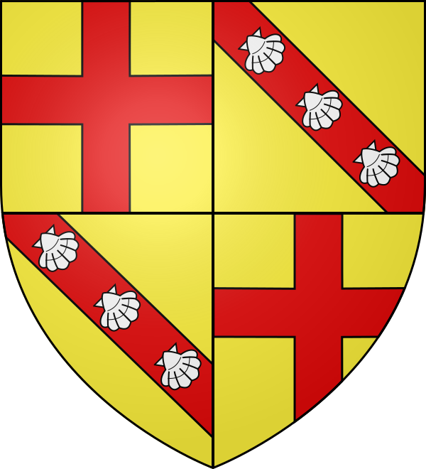
Coat of arms of Val d'Isère: Wikimedia Commons, CC BY-SA 3.0, via Wikimedia Commons. Runs and lifts: OpenStreetMap contributors (ODbL), read 17 Sept 2026. Snow and temperature: NASA POWER, 2001–2020 averages. Driving: OSRM routing on OpenStreetMap roads (router.project-osrm.org): distance and typical driving time without traffic, snow or chains. Train: SBB timetable via transport.opendata.ch: connections leaving from 09:00 on Tuesday 15 December 2026. Airlines: our own route maps.
- Every figure sourced
- Checked 17 Sept 2026
- No estimated prices
- Partner links tested weekly